Ordnance Survey (OS) has launched a number of new data enhancements to the OS National Geographic Database (NGD) Buildings data, which will have benefits for a range of users from the public sector, the emergency services, OS Partners and insurance and financial sectors. Estate Agents may also find uses for the information.
These new data enhancements – which will also help a range of organisations tackling net zero policies – have been delivered under the Public Sector Geospatial Agreement (PSGA).
The OS NGD Buildings data now includes the following information:
Building age – information on when a building was built;
Building construction material – information on the primary material the building is constructed from;
Basement presence – information on whether a building has a basement and identified if the basement is a self-contained address; and
Building description – a simple description to describe what the building is (for example, Detached House, Domestic Outbuilding, Education building).
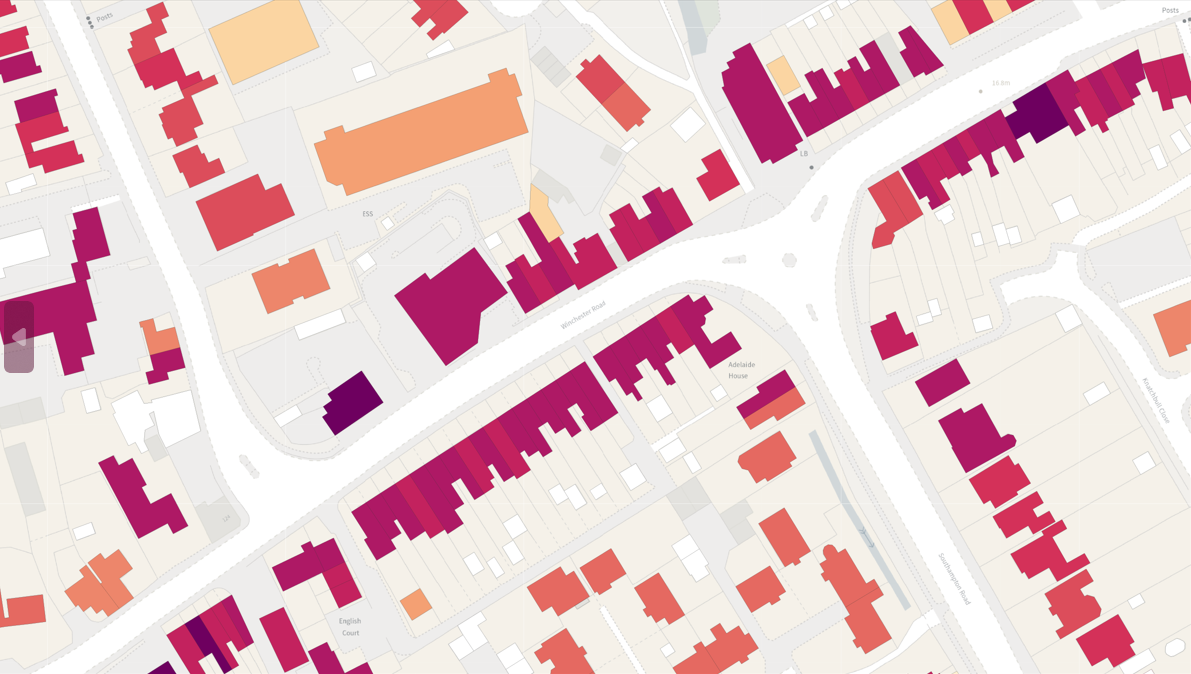
The dataset is the first time this information has all been available in one place and adds to the enhancements to OS NGD Buildings made last September, which included providing the building use and the number of addresses within the building.
For this release, OS has partnered with data analytics experts Verisk, which has created and supplied data for building age, construction material, and basement presence – while building descriptions come from OS data. Surveyors from OS will capture age, construction material and basement presence for new buildings.
The new enhancements are expected to be vital for helping the public sector tackle net zero policy and green energy initiatives around buildings. They will help users develop a better understanding about the energy performance of those buildings, for example insight into reducing carbon emissions from homes, or identifying hard to heat homes. This will enable users to develop policies and plans around meeting net zero targets, and also influence future house designs.
Lead for PSGA Investment at OS, Jessica Gaskell, said:
“This new product is providing data that we have never provided before free at the point of use for the public sector, consistently modelled and applied across Great Britain to give users a comprehensive picture of the built environment in the country.”
The dataset can be used with existing data from the OS National Geographic Database (NGD) to develop a deeper understanding of both the built and natural environment in a user-friendly manner.